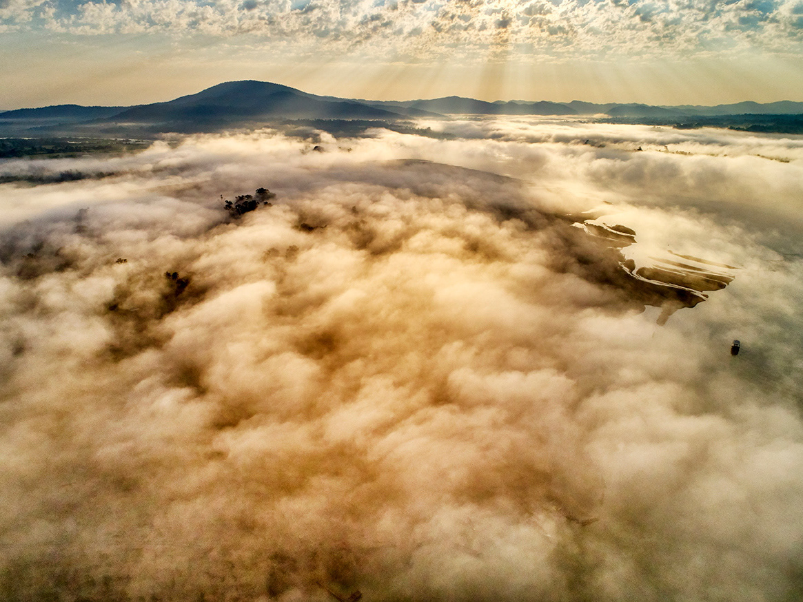
Tonle Sap Lake is Southeast Asia’s largest freshwater ecosystem and one of the most complex human–environment systems in the region. Its unique hydrological cycle, which reverses the flow of the Tonle Sap River between dry and wet seasons, radically transforms the landscape and dictates the rhythm of life for millions of people living along its shores.
This project documents life around Tonle Sap during both flooded and dry seasons, focusing on floating villages, stilted settlements, fishing communities, flooded forests, and agricultural activities shaped by the lake’s seasonal expansion and retreat. As water levels rise and fall, inhabitants continuously adapt their homes, livelihoods, and daily movements, shifting between land and water in response to the lake’s changing boundaries.
Beyond its environmental importance, Tonle Sap is deeply embedded in Cambodia’s cultural and spiritual history. Fishing practices, rice cultivation, and water management systems echo traditions represented in ancient Khmer bas-reliefs, while Buddhist beliefs continue to inform the relationship between communities and the natural world.
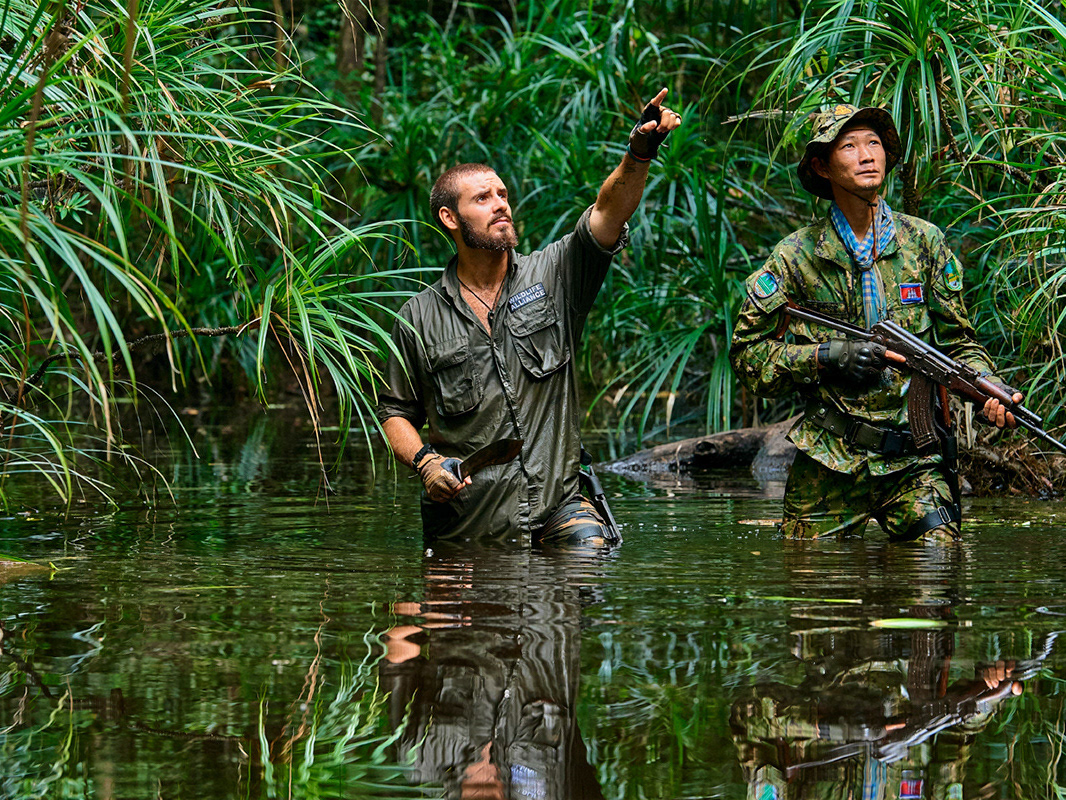
The project combines photography and documentary imagery to explore this fragile balance between resilience and vulnerability. Rather than presenting Tonle Sap as a static landscape, the work approaches it as a living system—one shaped by seasonal cycles, human ingenuity, and increasing environmental pressure.
Tonle Sap stands as both a source of sustenance and a warning: a reminder of how closely human survival is tied to the health of water ecosystems, and how rapidly that balance can be disrupted.